
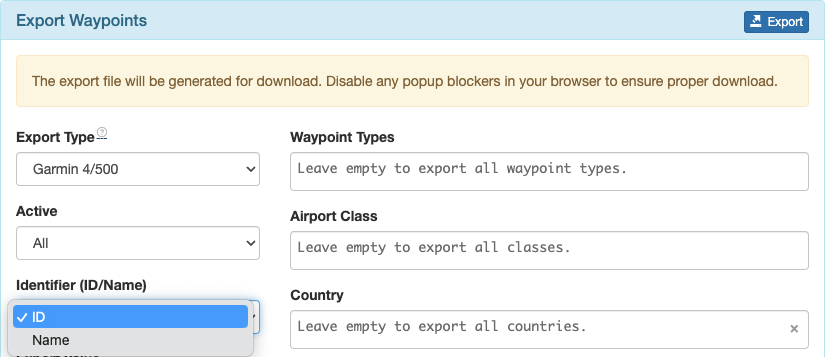
Select Export Waypoints from the Navigation Data menu.
Waypoints can be exported in a variety of formats.
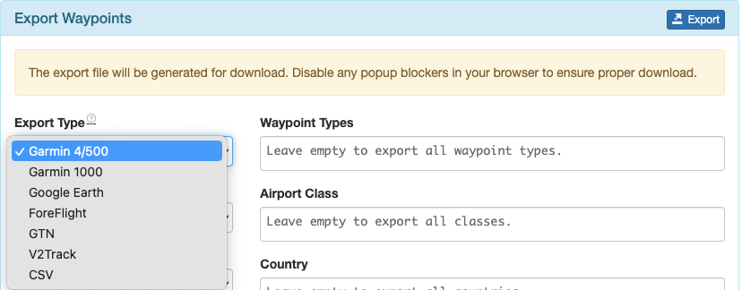
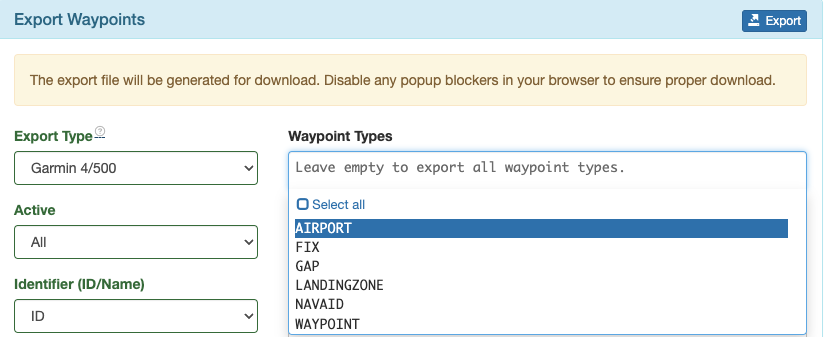
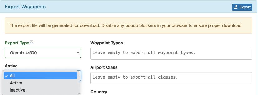
You can filter the waypoints for export in a variety of ways:
By waypoint type;
All, inactive, or active waypoints as set in the Waypoint database;
By airport class;

Or by country.
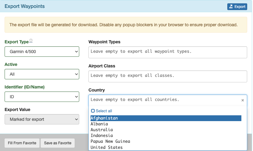
When exporting in Garmin formats, select ID for waypoints to be entered in the Garmin database by ID.
Once you have the filters set as required, you can save the export format as a Favorite.
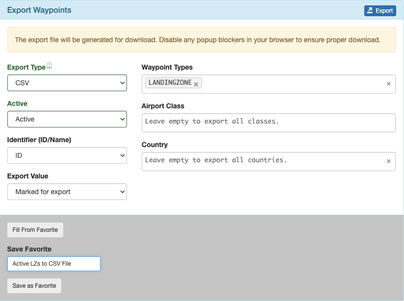
In the future, choose Fill From Favorite to export again.

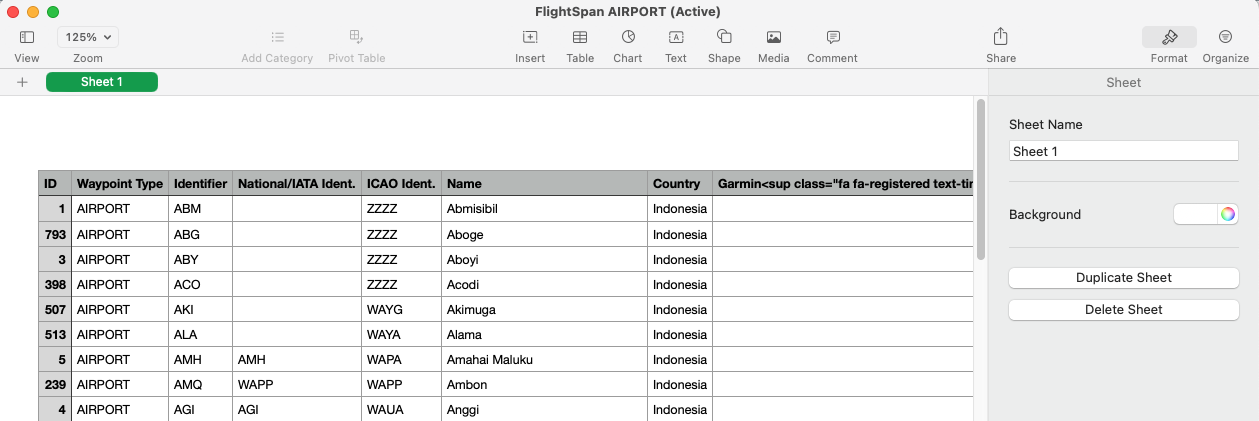
The file will be exported in the chosen format.
This concludes the waypoint management section. Instructions for how to use the Runway Chart Feature are covered in a separate lesson.
Video Version