When getting started with FlightSpan™ Ops, work with FlightSpan Support to create the initial import of all your existing waypoints. Once all your waypoint data is imported, you should go through each waypoint to verify all data is correct and to fill in any missing pieces of information.
Waypoints Page
From the Home screen, click on Waypoints.

Or from any screen, select Waypoints from the Settings Menu.

Continent and Country
Continent and Country Lists under the Geography Data menu won’t be used in the day to day management of FlightSpan Ops, only during initial setup and with the help of FlightSpan Support.

Regions
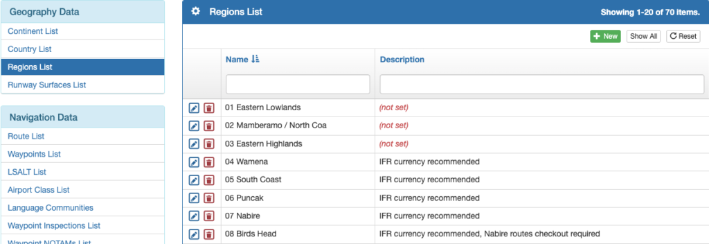
Select Regions List from the Geography Data menu, and add new regions with the green plus button or edit existing ones by clicking on the blue pencil icon. Sort by clicking on any of the blue column headers, and search using the windows at the top of each header.
Runway Surfaces
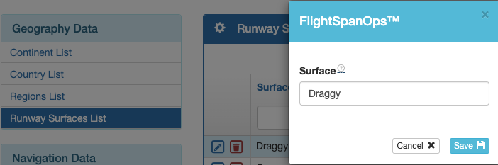
Runway Surface descriptors can be changed or added from the Runway Surfaces List under the Geography Data menu, but adding a new surface type’s associated correction factors, or changing existing correction factors must be done by FlightSpan Support. IMPORTANT: do not add or remove a runway surface without contacting FlightSpan Support (changing a description is acceptable, but per above, it will not change the takeoff or landing performance factor in the FlightSpan EFB).
Routes
Define commonly used VFR or IFR routes using the Route List item under the Navigation Data menu on the Waypoints page.
Create a new route by clicking on the green New button.
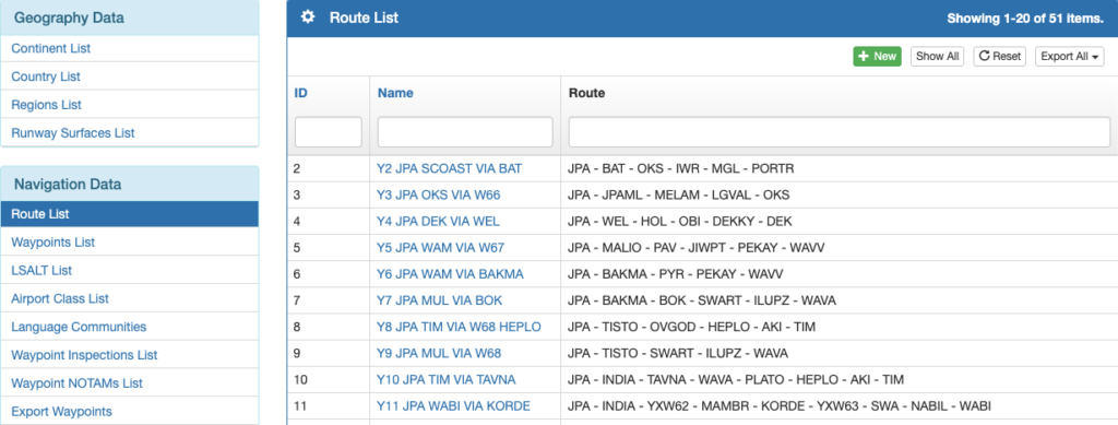
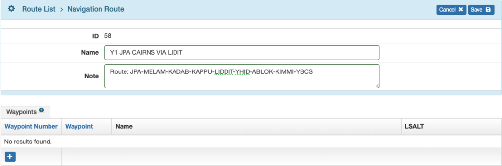
Name the route and describe it in the Note. Click the blue plus button to begin adding waypoints.
A route can be used in both directions since FlightSpan has an invert function, so each route only needs to be in the database once.
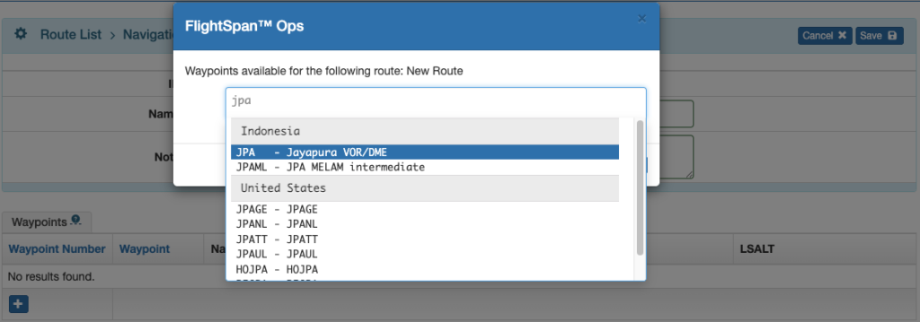
Search for waypoints by name or identifier.
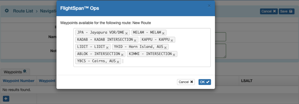
When the route is complete, click OK.
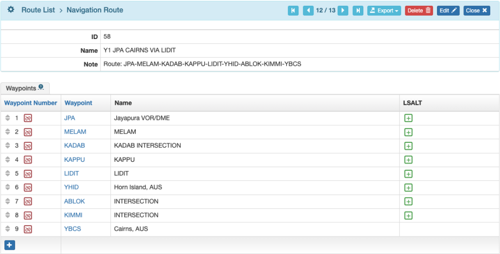
If you wish to add Lowest Safe Altitudes / Minimum Enroute Altitudes to the route, click the green plus buttons.
Add the LSALT/MEA for each leg and Save.
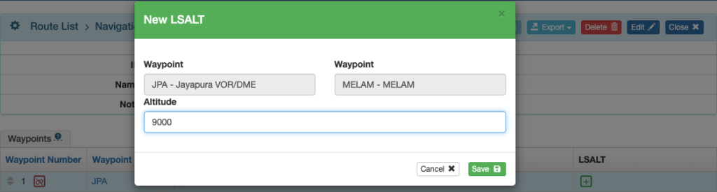
Notes: Once an LSALT/MEA is defined for a specific leg/waypoint pair, then it is defined for the same pair in the reverse order as well. Also, once an LSALT/MEA is defined for a specific leg/waypoint pair, then if that leg/waypoint pair appears in any other routes, the LSALT/MEA will be defined for that route as well.
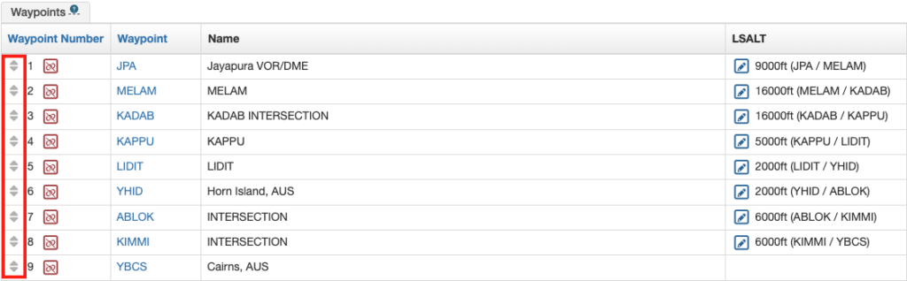
Remove a waypoint from the route using the red unlink icon, and edit an LSALT using the blue pencil icon.

Change the order of the waypoints by clicking on the gray arrow icons and dragging the waypoint up or down to its new position.
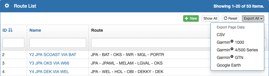
A route can be exported in several formats.

Or you can filter the Route List as desired, then export all routes at once.
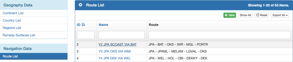
Edit an existing route by clicking on the route name and using the procedures previously described.
LSALT List
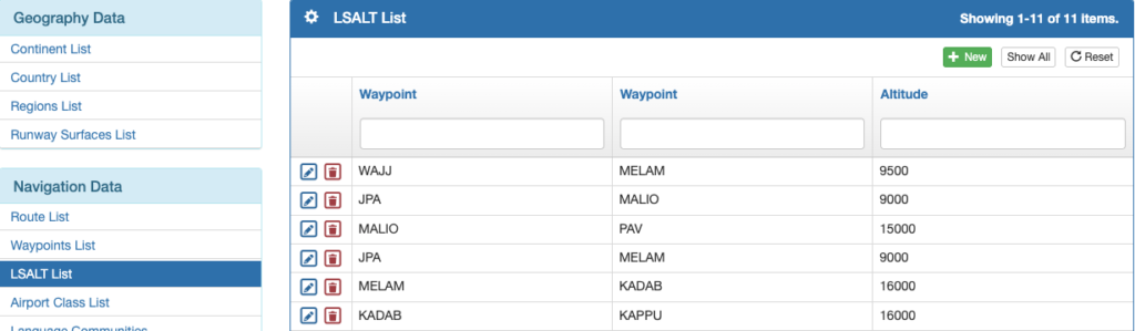
Lowest Safe Altitudes / Minimum En Route Altitudes that were added to a route as described previously are added to the LSALT List.
Add a new LSALT to a route between two waypoints by selecting the green New button.
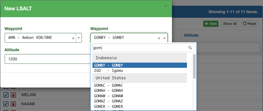
Select the waypoints, add the altitude, and Save.
If the waypoint pair is part of an existing route, the LSALT will also be added to the route.
Airport Classes
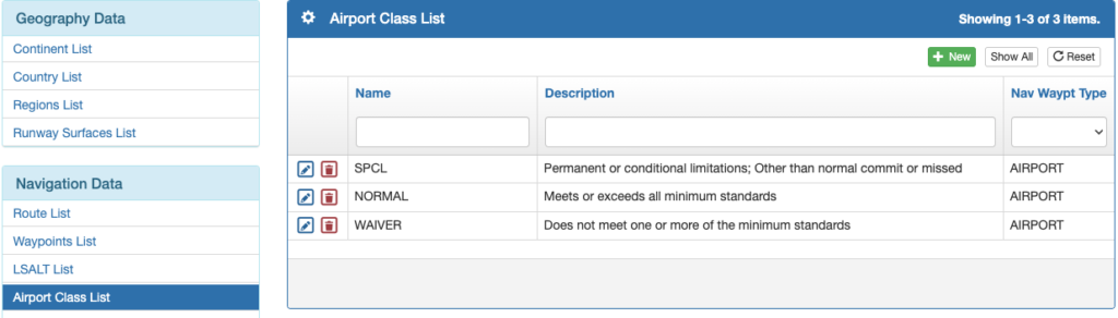
Select Airport Class List from the Navigation Data menu, and add new airport classes with the green plus button or edit existing ones by clicking on the blue pencil icon.
Language Communities
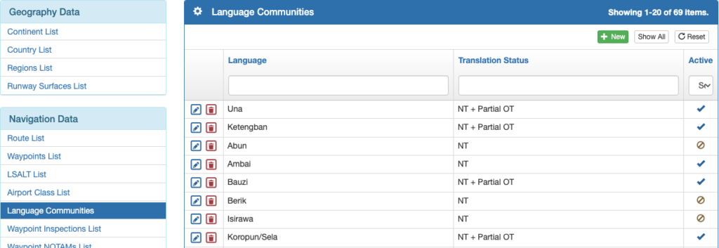
If your organization desires to track service to different language communities in a region, this can be done using the Language Communities item on the Navigation Data menu. Add new language communities with the green plus button or edit existing ones by clicking on the blue pencil icon.
Video Version